In 1991, the University Library of Bologna was preparing a cartographic exhibition entitled “Explorations in the Library”. Among the items in its collection was an unusual scroll: hundreds of drawings of churches and monasteries, mountains, cities and densely written lines of Armenian text. Unrolled, the map measured 3.58 metres long and approximately 1.2 metres wide. It had been created in Constantinople in 1691. Exactly three centuries separated its creation from its return to scholarly attention.
Gabriella Uluhogian, a scholar of Armenian studies and professor at the University of Bologna, helped reveal the significance of the discovery. The task involved much more than deciphering place names: the inscriptions connected sacred sites with people, traditions and events. Studying the map required translation and years of research. Today it is known by its Latin title, Tabula Chorographica Armenica, and remains in the same library, in the Marsili Collection, as Scroll No. 24.
A Question Asked in Constantinople
The map’s story began with a conversation between two men for whom geography meant far more than a list of places. The Italian count Luigi Ferdinando Marsili, a soldier, diplomat and scholar, was in Constantinople on a diplomatic mission in 1691, during the war between the Habsburgs and the Ottoman Empire. His curiosity about how the world worked extended to its peoples, religions and manuscripts. In the Ottoman capital, he found a remarkable person with whom to explore these interests.
That person was Eremia Chelebi Keomurchian, an Armenian historian, poet and expert on Constantinople with ties to the local patriarchate. Marsili asked him about Armenian monasteries. The answer gradually grew into a large scroll. Keomurchian compiled the map with his son, the miniaturist Ter Maghakia. Behind the name of the patron, so often foregrounded in European collections, stand two Armenian creators: the scholar who organised the material and the artist who helped bring it to life.
The circumstances of the commission are known from the document itself. In its lower right-hand section, Keomurchian left a lengthy colophon: an author’s account of how the work was made. For a historian, such a note is especially valuable, linking an object to a particular meeting, moment and group of people. The map tells its own origin story, helping us trace the journey from an Italian traveller’s question to a carefully conceived portrayal of the Armenian Church’s world.
How to Read This Map
The first challenge for a modern viewer arises before any of the inscriptions are read. East is at the top and north to the left. Distances do not follow a consistent scale, and there is no familiar grid of latitude and longitude. Instead, pictures and text guide the eye. To understand how the scroll is organised, it is more useful to ask why a particular place mattered to its creator than to try to plot a precise route from one city to another.
The map depicts around eight hundred places connected with Armenian Church history. Its major centres include Etchmiadzin, Gandzasar, Aghtamar and Cilicia, along with the patriarchates of Jerusalem and Constantinople. Its geographical reach extends as far east as Nishapur and includes the monasteries of Crimea. Monasteries, churches, sites of martyrdom and the burial places of saints form an extensive network. The inscriptions often explain what made a particular sacred site famous, so that looking at the map becomes an act of reading many interconnected stories.
In one detail, clergy and men in Ottoman-period dress converse in front of Etchmiadzin Cathedral. The accompanying text refers to the historian Agathangelos’s account of the cathedral’s foundation by Saint Gregory the Illuminator in the fourth century; nearby rise the two green peaks of Mount Ararat. The creators’ approach is especially clear here: an event from the distant past is rendered in a visual language familiar to their contemporaries. Several historical periods meet within a single scene.
This quality is important to the map as a whole. Some of the sacred sites it depicts were already damaged or destroyed by the late seventeenth century. Keomurchian drew on written and oral traditions, preserving knowledge of places that remained alive in the Church’s memory. The scroll therefore cannot simply be used to count the monasteries operating in 1691. It does, however, show which names, events and connections its creator considered essential to pass on to future readers.
Armenian lands were then divided between the Ottoman and Persian empires. The scroll brings together an ecclesiastical geography that transcends these political divisions, although it would be a mistake to read it as a map of modern national borders. Its subject is the distribution of sacred sites and an understanding of the past associated with them. For readers today, it is also a reminder of how differently a state’s territory, the life of its communities and the geography of cultural memory can be defined.
How the Scroll Was Forgotten
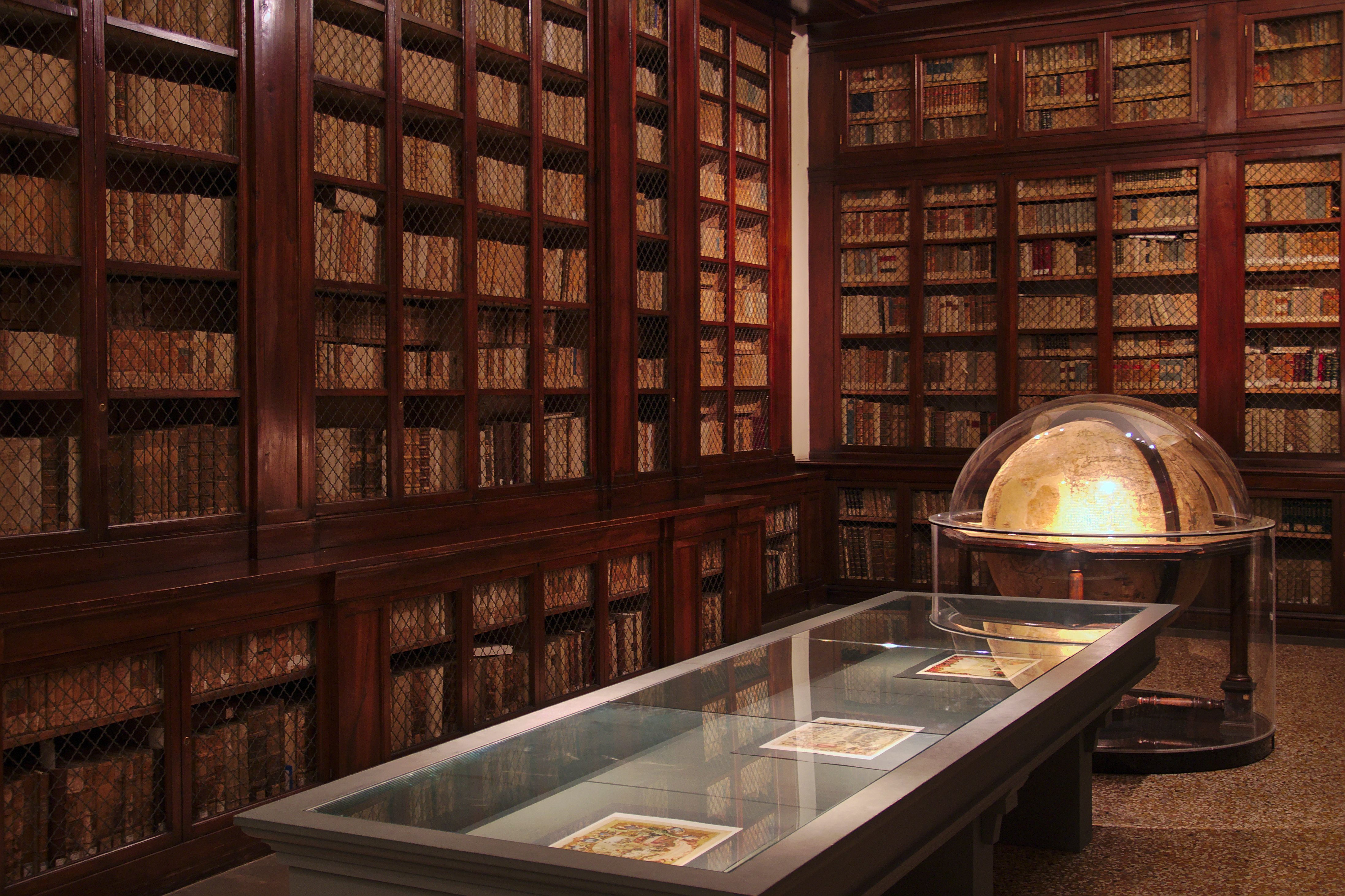
Marsili returned to Bologna in the spring of 1692, bringing the map with him. In 1712, he donated a substantial part of his collections to the Institute of Sciences and Arts, which he had founded. The Armenian map appeared as No. 100 in his handwritten inventory, with a note stating that it hung on the wall of the institute’s library. These collections later became part of the University Library of Bologna. It was there that the scroll endured its long period of obscurity.
Scholars of Armenian studies had known of the map’s existence since the late eighteenth century, but they searched for it in Vienna. They knew that Keomurchian had made it for an “Austrian ambassador”. The patron’s diplomatic service had pointed researchers in the wrong direction: his hometown was Bologna, and that was where he had brought the scroll.
The story was more complicated than the dramatic legend of an object that vanished without a trace for three hundred years. In the twentieth century, the librarian Ludovico Frati had already entered it in the scroll inventory under its present number, 24. Yet the existence of a catalogue entry did not mean that the document’s content and importance were understood. The events of 1991 restored it to scholarly attention. In 2000, Uluhogian published a book devoted to the map, with research, translations and reproductions.
New Life for an Old Geography
In May 2018, the map underwent conservation before travelling to New York’s Metropolitan Museum of Art for the exhibition Armenia! The work took place in Bologna, in view of visitors. Conservator Melania Zanetti reinforced vulnerable areas of the paper and its attachment to the fabric backing. The enormous scroll required particular care each time it was unrolled: the opportunity to examine it depended on how carefully its physical material could be preserved.
Digitisation opened a new chapter. In 2023, a gigapixel image of the map, produced by Haltadefinizione, was presented at the Bologna exhibition “Traces of Armenia”. The University Library also provides online access to the entire scroll and its individual sections. It is now possible to return to its tiny drawings and inscriptions without unrolling the original again, while comparing widely separated details has become considerably easier.
After following the story of its rediscovery, it is tempting to look at the map once more. Its dimensions and the number of sacred sites can easily distract from its defining feature: every place is given room for a story. A scholar from Constantinople and his son brought these stories together for one inquisitive visitor. Preserved in Bologna, the scroll allows us to read them centuries later and observe how names, drawings and brief explanations combine to create a picture of an entire world.